
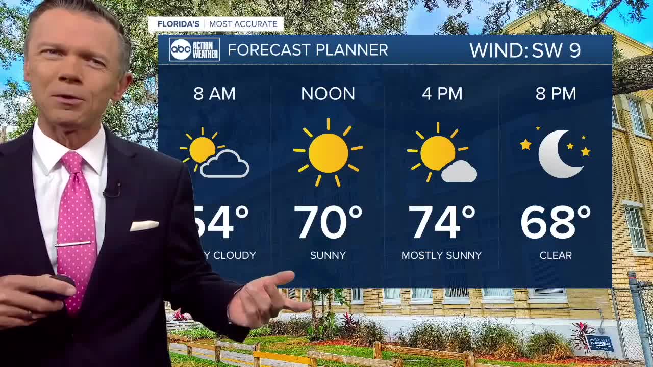


Mostly sunny, highs in the 70s today.
Don't put away those jackets just yet! It's still chilly out there this morning with many towns east of the coast and north of the Bay falling into the 40s. There may even be a couple areas of some patchy fog.
Once the sun comes up, we will warm up nicely into the 70s this afternoon. A few towns well east of I-75 may get to around 80, but at the coast, with a sea breeze, highs will be cooler. Other than more clouds, today looks very similar to Wednesday.
Overnight temperatures won't be quite as cool, mainly thanks to a wind that will be more out of the south. This will start to bring in warmer, more humid air our way.
Temperatures Friday morning are likely to start in the 50s. Patchy fog is possible again in the morning. By the afternoon look for sunny skies and less of a sea breeze, which should allow temps to warm into the 80s in many places by Friday afternoon.
Saturday looks to be one of the warmer days in a while. Closer to the coast we'll see highs in the low to mid-80s while some in the interior of the state will likely be closer to 90 degrees.
Sunday continues to look dry for the first half of the day. By the afternoon and evening we'll be watching a front approach with a threat for showers and thunderstorms. Although this front will be weakening as it moves in, some stronger storms are possible.
Expect a brief, one day, cool down behind the rain on Monday as temperatures drop into the upper 60s and low 70s for highs.
Have a great day!